Reviews
Paved cycling routes compared: separation, surface and intersections
How to compare paved cycling routes in 2027 by the type of separation from traffic, the state of the surface, and how the route handles intersections.
Paved cycling routes compared side by side differ most in what sits between the rider and traffic. One route is a separated lane with its own signal phases; another is a painted stripe beside 45 mph traffic; a third turns into a sidewalk without warning.
The Hudson River Greenway runs about 11 miles of asphalt beside Manhattan's West Side Highway, with a barrier and signals at major streets. Chicago's Lakefront Trail covers about 18 miles and passes under its busiest crossings.
What to take away
- Separation type matters more than surface material. A parking-protected lane on New York's 9th Avenue and a below-grade corridor like Minneapolis's Midtown Greenway are different rides.
- Intersections and driveways split routes more than open stretches do. The Lakefront Trail uses underpasses where the Minuteman Bikeway uses at-grade crossings.
- Surface condition follows the resurfacing cycle of the road or path it sits on.
- A route is only as good as its worst quarter mile, usually a junction. Seattle's Burke-Gilman Trail loses its separation through the Ballard gap.
Separation is the first question
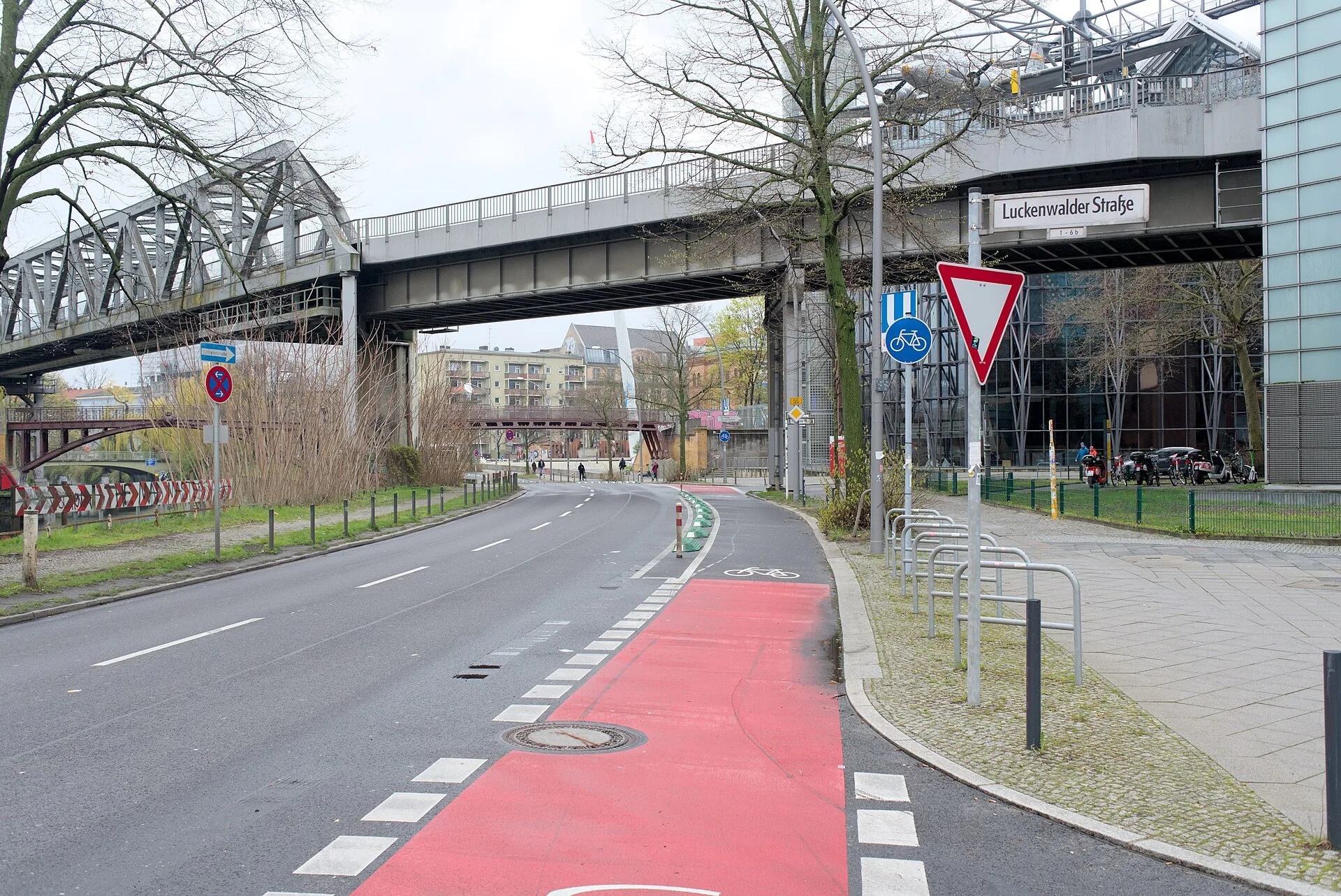
The clearest category is the separated bike lane. FHWA's planning and design guide describes a separated bike lane, also called a cycle track or a protected bike lane, and sets out design options for one-way and two-way arrangements and ways to provide separation.
Route comparison checklist
- Separation typecurb, parking, posts, or paint
- Continuitydoes it stop and restart
- Intersectionssignal treatment for cyclists
- Drivewayshow many along the route
- Surface ageyear of last resurfacing
- Lightingpresent or absent
What provides that separation is the question worth asking. A raised curb, a parking lane, flexible posts and a painted buffer are not equivalent, and they do not feel equivalent to ride.
New York's 9th Avenue protected lane uses parked cars and a painted buffer as its barrier, with bike signals where drivers turn across it. Minneapolis's Midtown Greenway runs roughly 5.5 miles in a below-grade former rail corridor, so no car crosses the path at street level.
Rank a route by asking what stands between you and traffic, then by asking how long that protection lasts. The second half of that question is the one people skip.
A protected corridor that runs for six miles and then deposits riders onto an arterial for two is not a protected corridor for the group riding it. Ask for the route as a sequence of sections with the separation named for each.
Seattle's Burke-Gilman Trail shows the pattern: about 19 miles of rail-trail asphalt, with riders on Ballard streets where the corridor is incomplete.
Surface follows the resurfacing cycle
On-road paved routes are maintained as part of the road, not separately. FHWA published a report on incorporating on-road bicycle networks into resurfacing projects because the resurfacing cycle is when a bicycle facility can be added or improved at low marginal cost.
For a traveler, surface quality on a road route reflects when that road was last resurfaced. A local agency can tell you.
Off-road paths age on their own schedule. The Minuteman Bikeway is asphalt on an old rail bed, patched by Arlington, Lexington and Bedford, the towns it crosses. Repairs on rail-trails like the Burke-Gilman fall to whichever city or agency owns each segment.
Comparing named paved routes
These seven routes are ordered by how much they keep cars away, then by what happens at junctions.
Separation from traffic
- Hudson River Greenway, Manhattan
- Two-way path with a barrier beside the West Side Highway
- Lakefront Trail, Chicago
- About 18 miles of path separated from Lake Shore Drive; bike and walking lanes divided in busy stretches
- Midtown Greenway, Minneapolis
- Roughly 5.5 miles in a below-grade former rail corridor
- Minuteman Bikeway, Massachusetts
- Off-road rail-trail path with no motor traffic on the corridor
- Virginia Capital Trail, Virginia
- About 51 miles of off-road path from Richmond toward the Williamsburg area, apart from Route 5
- 9th Avenue protected lane, Manhattan
- Parking-protected lane with painted buffer and flexible posts
- Burke-Gilman Trail, Seattle
- About 19 miles of rail-trail path, with an on-street gap in Ballard
Surface
- Hudson River Greenway, Manhattan
- Asphalt, repaired in sections
- Lakefront Trail, Chicago
- Asphalt and concrete, repaved piece by piece
- Midtown Greenway, Minneapolis
- Asphalt, lit and plowed in winter
- Minuteman Bikeway, Massachusetts
- Asphalt, patched by Arlington, Lexington and Bedford
- Virginia Capital Trail, Virginia
- Asphalt end to end
- 9th Avenue protected lane, Manhattan
- Asphalt shared with the roadway
- Burke-Gilman Trail, Seattle
- Asphalt
Intersections
- Hudson River Greenway, Manhattan
- Signals at major cross streets; heavy foot traffic near the piers
- Lakefront Trail, Chicago
- Underpasses at most major crossings, with some at-grade crossings left
- Midtown Greenway, Minneapolis
- No at-grade car crossings; ramps and stairs at street level
- Minuteman Bikeway, Massachusetts
- About 40 at-grade street crossings over 11 miles
- Virginia Capital Trail, Virginia
- More than three dozen road crossings, most sign-controlled
- 9th Avenue protected lane, Manhattan
- Bike signals and mixing zones; left-turning drivers cross the lane
- Burke-Gilman Trail, Seattle
- Signalized crossings at major streets; street riding through the Ballard gap
The checklist below applies to any candidate route, named or not.
Attribute / What to ask
- Separation type
- Curb, parking, posts, or paint · Determines comfort at speed
- Continuity
- Does it stop and restart · Gaps force road riding
- Intersections
- Signal treatment for cyclists · Where conflicts concentrate
- Driveways
- How many along the route · Frequent turning conflicts
- Surface age
- Year of last resurfacing · Predicts ride quality
- Lighting
- Present or absent · Sets the usable hours
Judge the route by its worst section
Averages flatter paved routes. A ten-mile route with nine excellent miles and one mile of shoulder riding beside fast traffic is a route with one mile of shoulder riding beside fast traffic. That section decides whether it suits the group you are with.
Named versions of that weak link are easy to find. The Lakefront Trail handles most crossings with underpasses, but not all of them. The Burke-Gilman Trail runs uninterrupted for miles and then hands riders to Ballard traffic.
Ask for the weak links by name. Agencies and local riders will both tell you, and the answers rarely match the promotional map. The questions to put to an operator are collected in questions to ask before booking a paved route, and the additions that fit around a main route are in paved route stops worth adding.
Common questions
Is a separated lane always better than a quiet road?
Does smooth pavement mean a good route?
How do I find out when a road was resurfaced?
What about two-way lanes on one side of the road?
In this guide
- Paved cycling routes businesses can support: what to knowPaved cycling routes businesses can support bring riders to local shops. Learn what attracts cyclists, how construction funding works, and who maintains routes.
- Questions worth asking before you book a paved cycling route tripQuestions to put to an operator before booking a paved cycling route: what is included, surface and daily distance, traffic separation, e-bikes, support and cancellation.
- Reading a network map for paved cycling route add-on stopsHow to add a paved cycling route to a longer journey: reading a network map properly, finding real connections, and picking segments that stand alone.