Rules
Part of 4 pointers on cycling trip mistakes that hold up
USA travel: asking about rail-trail access
USA travel by bike: what to ask rail-trail managers about measured conditions, entrances, surfaces, information formats and restroom access before a ride.
For USA travel by bike, Access failures rarely happen at the start of a trip. They happen four miles in, at a gate, a step or a stretch of soft surface, at the point where turning back costs as much as continuing. Almost all of them were knowable in advance.
On the Great Allegheny Passage or another U.S. rail trail, a corridor name alone does not tell you whether every entrance, surface, and facility will work for your ride. Check the conditions with the agency that manages each section.
What to take away
- A rating word is not information. Ask for measured conditions.
- Assessment data exists in more places than people expect, and it is what signs are built from.
- Information should be available in more than one form, and it often is not.
- Identify the point where turning back becomes expensive, and check that section hardest.
Ratings are not measurements
Objective assessment is a recognized discipline, not a courtesy. Federal Highway Administration guidance explains why agencies collect objective condition data on pedestrian facilities. The Americans with Disabilities Act (ADA) covers public and private facilities within its scope; the Architectural Barriers Act (ABA) covers certain facilities designed, built, altered, or leased by the federal government or with federal funds. For trails on covered federal sites, consult the U.S. Access Board's Outdoor Developed Areas Accessibility Guidelines. These requirements do not make every trail guideline binding on every locally managed rail trail. Agencies use assessment data to find where accessibility and maintenance fixes are needed, verify compliance with applicable design guidelines, and give users information to pick a route.
Ask for objective trail data
- Request assessment numbers, not opinions
- Ask which year assessment was done
- Use data to find accessibility fixes
- Verify compliance with design guidelines
- Use data to pick a route
That last purpose is the one travelers should push on.
If an agency has done an assessment, the numbers exist. Ask for them rather than for an opinion, and ask which year the assessment was done.
Information should come in more than one form
The U.S. Access Board's Public Right-of-Way Accessibility Guidelines (PROWAG) address accessible pedestrian signals, including locator tones. The 2010 ADA Standards for Accessible Design require detectable warnings at specified curb ramps. These guidelines and standards concern defined facilities; they do not mean every rail trail sign or map must use the same format. People take in information differently, so provide trail information through more than one sense where the setting calls for it.
Trail information formats
Printed map only
- Information gap
- Widest
- Plan against it
- Conservatively
- Senses served
- Sight only
Written summary
- Information gap
- Narrower
- Plan against it
- Yes
- Senses served
- Sight
Phone number
- Information gap
- Narrower
- Plan against it
- Yes
- Senses served
- Hearing
Entrance signs
- Information gap
- Narrower
- Plan against it
- Yes
- Senses served
- Sight
The examples are concrete: detectable warnings mark the transition from walkway to street, and accessible pedestrian signals with locator tones tell an approaching person who is blind that a push button exists and where it is.
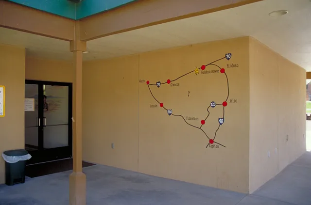
The travel consequence is that a trail with only a printed map has an information gap, and the gap tends to be widest exactly where the route is hardest.
Ask the managing agency what forms its trail information comes in. A written condition summary, a phone number answered during the season, and signs at each entrance are three different things, and a trail with all three is a trail you can plan against. One with only a map is a trail you should plan conservatively.
Five access conditions to ask about
| Failure | Where it happens | Check |
|---|---|---|
| Entrance barrier too narrow | Trailheads and road crossings | Ask what is installed |
| Soft or loose surface | After recent resurfacing | Ask when work was done |
| Steep short section | Ramps, underpasses, bridge approaches | Ask for the steepest grade |
| No accessible restroom | Midway, not at the ends | Ask which trailheads have them |
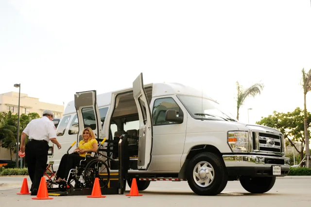
| Transport cannot carry the equipment | Return leg | Measure and confirm |
What good answers look like: two managing agencies
Two agencies show the kind of answer worth asking for.
The National Park Service, which manages the C&O Canal Towpath (the trail that meets the Great Allegheny Passage at Cumberland, Maryland), publishes an accessibility page that answers several of the questions above directly. It says the towpath is a graded gravel path throughout the park that can get muddy after rain, making it uneven in places; all visitor centers and their restrooms are accessible; and the drive-in campgrounds at Antietam Creek and McCoys Ferry each have one accessible site with a picnic table and an accessible fire ring. Devices that meet the ADA definition of a wheelchair are allowed anywhere foot travel is allowed. ASL interpretation and listening devices are available on request for ranger-led tours. The park's phone line is 301-739-4200.
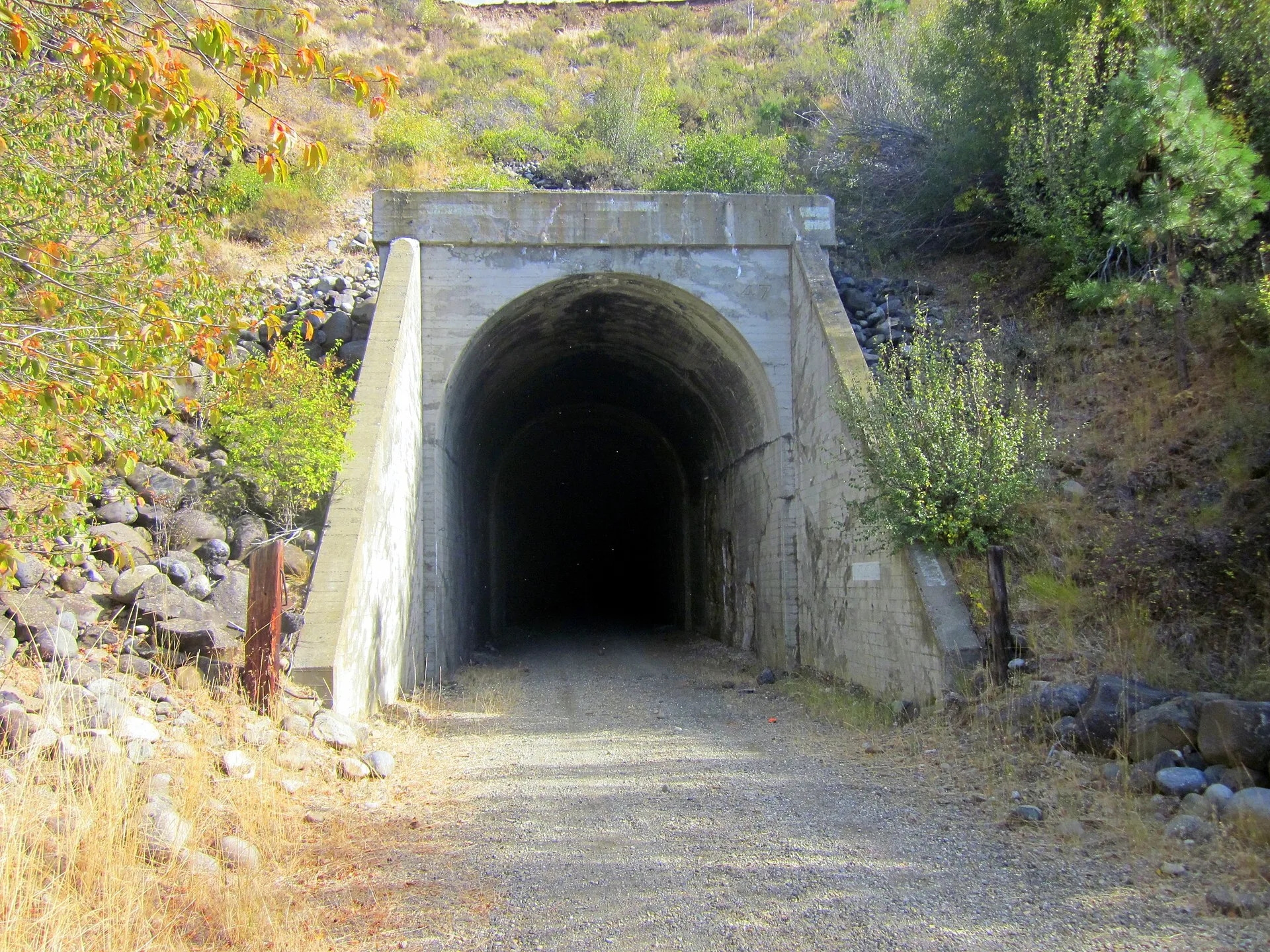
The Wisconsin Department of Natural Resources does the same for the Elroy-Sparta State Trail: a crushed limestone surface, three railroad tunnels that are dark and where riders should walk their bikes, tunnels closed every year from Nov. 1 to April 30, and a trail headquarters with parking at the restored depot in Kendall. Its trail office answers on 608-337-4775.
Neither page gives every measurement, which is why the questions in the table still matter, but both name the surface, the facilities and a number to call.
Plan the turning point
Work out where on the route turning back stops being easy. Check that section harder than anything else: surface, grade, entrances, and whether there is a road alternative alongside it. If the answers are vague, plan a shorter version of the day.
Broader planning questions are covered in accessible rail trail travel and what causes cycling trip mistakes. The checks here are specific: barrier openings, grades, cross slopes, surface firmness and stability, information formats, and restroom access on your travel dates.