Features
Part of Picking a bike trail town: the criteria that actually matter in 2027
Timing a bike trail town visit around floods and closures
How drainage, flood alerts, work closures and winter shutdowns set the months a trail town trip rides well, on the C&O Canal and the Elroy-Sparta Trail.
Season advice for cycling usually reduces to weather. On a converted corridor the more useful question is different: what does this trail do with water, and when does the agency work on it? Those two answers move a trip more than temperature does.
What to take away
- Drainage, not rainfall, decides whether an unpaved corridor is rideable after rain.
- Trails through wet ground are engineered specifically for it, and those structures behave differently by season.
- Maintenance and resurfacing happen in predictable windows. Ask when.
- Shoulder seasons are emptier, and half the town services are shut.
- On the C&O Canal Towpath the river and the posted work alerts set the calendar; on Wisconsin's Elroy-Sparta State Trail the winter tunnel closure does.
Water is the variable that matters
Trail construction guidance treats drainage as a primary design problem, not an afterthought. The Forest Service and FHWA trail construction and maintenance notebook, produced in cooperation with the Recreational Trails Program, is built around surface, structure, and upkeep.
Where a trail crosses saturated ground, the answer is often a purpose-built structure. A separate federal guide covers wetland trail design and construction for that situation.
For a traveler this translates into a simple question to the trail manager: which sections hold water, and for how long after rain? A well-drained crushed-stone section can be fine the morning after a storm. A poorly drained one can be unrideable for a week.
Season by season
Advantage
- Spring
- Long light, quiet trails
- Early summer
- Everything open, good surface
- Late summer
- Reliable surface, warm evenings
- Autumn
- Best riding conditions on most corridors
- Winter
- Empty, cheap
The catch
- Spring
- Wettest ground, most closures
- Early summer
- Busiest weekends
- Late summer
- Heat, and water carrying
- Autumn
- Services start closing, light shortens
- Winter
- Ice, unmaintained sections, short days
Autumn is the default answer on most corridors for a reason: the ground has dried, the surface has settled after summer work, and the crowds have gone. It is also when town kitchens start closing early.
Season by season on trail corridors
Season
- Spring
- Long light, quiet trails
- Early summer
- Everything open, good surface
- Late summer
- Reliable surface, warm evenings
- Autumn
- Best riding on most corridors
- Winter
- Empty, cheap
Advantage
- Spring
- Wettest ground, most closures
- Early summer
- Busiest weekends
- Late summer
- Heat, water carrying
- Autumn
- Services closing, light shortens
- Winter
- Ice, unmaintained sections, short days
The catch
- Spring
- Early summer
- Late summer
- Autumn
- Winter
The table is a starting point rather than a rule. Corridors in different climates do not share a calendar, and altitude changes it again. Take the season that suits the region, then check it against the one thing that is genuinely local: how that particular trail handles water.
Ask about the work window
Agencies resurface, mow and repair on a schedule. Three questions cover it:
- When is resurfacing or major maintenance planned this year?
- Which sections close for it, and for how long?
- When was the last surface work done on the section I want?
A section resurfaced two months ago is fast. One resurfaced two weeks ago may still be loose. This is not information a map will ever carry.
One corridor's calendar: the C&O Canal Towpath
The C&O Canal Towpath along the Potomac, managed by the National Park Service, shows where these answers live for a real trail. The park publishes a Towpath and Park Conditions page organized by milepost, and each section names the trail towns it covers: Georgetown, Cabin John, Potomac and Seneca in the first; then Poolesville, Whites Ferry, Dickerson and Point of Rocks; Brunswick, Harpers Ferry, Bolivar and Shepherdstown; Sharpsburg, Downsville and Williamsport; Clear Spring, Hancock and Little Orleans; and finally Paw Paw, Oldtown and Cumberland.
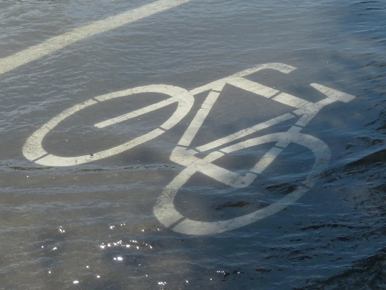
Water is the river here, not the soil. The park warns that many sections of the towpath are flooded regularly when the Potomac River overflows its banks, and advises riders to avoid the towpath during flood watches and warnings. Heavy rain can also push the canal itself over the towpath, and the rule for a flooded section is plain: do not cross. That makes the conditions page, read the week before you go, more useful than any seasonal average.
The same page carries the work window. Project work appears as work alerts against a named milepost, such as a closed stairway at Byron Bridge or a parking lot closed at Lock 5 with alternate access at Lock 6. Where the bridge across Polly Pond Creek is closed, the signed detour sends riders onto the Western Maryland Rail Trail, which runs alongside the towpath.
The season shows up in the services too. Well water at the campsites is generally available from mid-April to mid-November; around mid-November the faucets are turned off for the winter, and the campsites stay open but riders must bring their own water. For a town-based trip, that puts the reliable months between spring flooding and the winter shutoff, and the towns listed above are where you wait out a high-water week.
A rail trail calendar: Elroy-Sparta in Wisconsin
The Elroy-Sparta State Trail runs 32.5 miles between Sparta and Elroy through Norwalk, Wilton and Kendall, on a level limestone surface managed by the Wisconsin Department of Natural Resources. Its season is set less by floods than by its three rock tunnels.
The DNR closes the tunnels annually from Nov. 1 to April 30, so a trip in that window loses the trail's defining feature. Even in summer the tunnels are dark and cool, and water from springs above can trickle onto the trail, so riders walk bikes through with a flashlight and a jacket. For a town-based visit that puts the useful months between May and October, with Kendall, home to the trail headquarters in the restored depot, as a natural middle stop.
Match the season to the trip type
A two-day trip can chase a good forecast. A week cannot, so build around the season with the most stable surface, not the best average temperature.
The itinerary shape that absorbs a bad day is in a two-day rail trail itinerary, and the criteria for picking the town where you sit out the weather are in the trail town shortlist.