Guides
Getting rail trail travel right the first time
What rail trail travel involves in 2027: how a shared use path is defined, why rails with trails differ, and the checks to make before you book.
Rail corridors make good bicycle routes for a dull reason: railroads needed gentle grades, so the alignments they left behind are easier to ride than the roads beside them. That is the whole appeal. Everything else about planning a trip on one is detail work, and the detail is where trips go wrong.
What to take away
- A rail trail is a type of shared use path, and the federal working definition turns on separation from motor traffic, not on scenery.
- A trail beside a live railroad is a different category with different rules, and the gap to the tracks varies widely from trail to trail.
- Surface, crossings and access points decide how a day rides. Distance alone tells you almost nothing.
- Almost every operating rule you care about is set locally, by the state or the trail manager, not nationally.
What a shared use path actually is
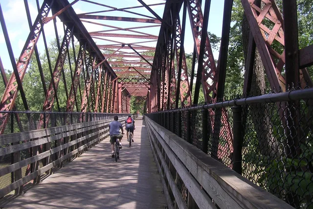
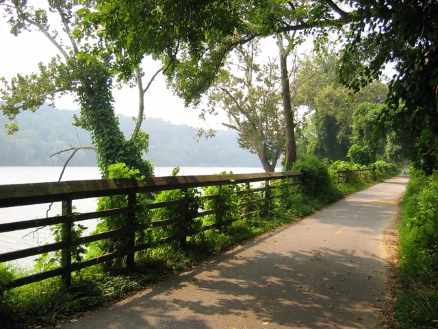
Federal practice defines a shared use path as a multi-use trail separated from motorized traffic by open space or a barrier. It may sit inside a highway right of way or in its own corridor. The wording comes from AASHTO, whose Guide for the Development of Bicycle Facilities defines a shared-use path as a bikeway physically separated from motorized vehicular traffic, and FHWA's own guidance repeats it.
It is meant for transportation, not recreation alone. The definition expects mixed users: people walking, riding bicycles, skating, and in some places riding horses. It is not a bike-only facility, so a realistic average speed reflects that.
Rails with trails are not rails to trails
The two phrases get used interchangeably and should not be. A rails-to-trails project happens after service ends and track is lifted. A rail-with-trail runs beside or inside the right of way of a working railroad or transit line.
The federal review of rails with trails counted 343, covering 917 miles in 47 states, as of the end of 2018.
Setbacks on existing examples range from about seven feet to 200 feet, averaging roughly 32 feet, with no agreed method for a minimum. A trail can be legal, popular and still very close to moving trains.
Read the trail before you ride it
Four attributes tell you more than a mileage figure:
| Attribute | Why it changes the day |
|---|---|
| Surface | Asphalt, concrete and packed crushed stone ride very differently in rain |
| Road crossings | Each one costs time and attention, and they concentrate risk |
| Access points | They decide where you can start, stop, park or turn back |
| Managing agency | It sets hours, permitted uses and closure rules |
Crossings deserve the most care. Federal guidance treats each trail crossing as a case-by-case engineering question, not a template. Two crossings a mile apart can be handled in completely different ways.
Read them as places to slow down, not as waypoints. For the detail on what surprises people, what first-time visitors miss about rail trail travel goes through it.
The four attributes on a real trail: Elroy-Sparta
The Elroy-Sparta State Trail in Wisconsin, which the Wisconsin Department of Natural Resources (DNR) describes as considered the first rail-to-trail in the United States, is a good first corridor to read this way.
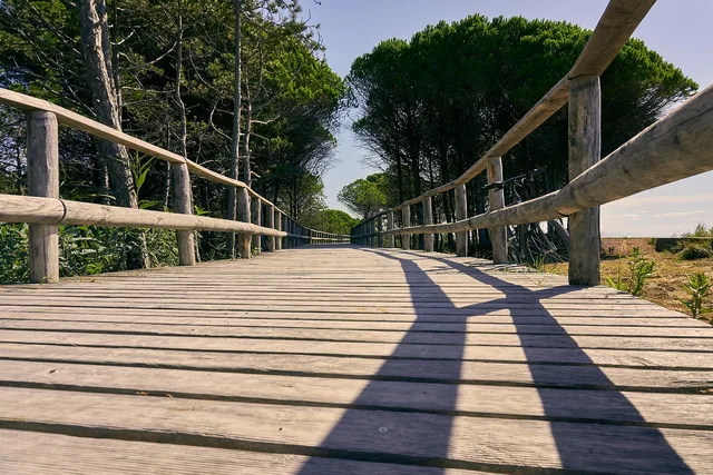
- Surface.The DNR describes a level grade and a limestone surface suited to bicyclists, walkers and joggers.
- Access points.The 32.5-mile route runs between Sparta and Elroy through Norwalk, Wilton and Kendall, five small towns in all, with campgrounds at Elroy and Sparta. The restored railroad depot in Kendall is the trail headquarters, with parking and trail passes, and the Elroy end meets the 400 State Trail.
- Crossings and structures.Three rock railroad tunnels are the defining feature. Riders are asked to walk bikes through them, to carry a flashlight and a jacket, and to expect water from springs trickling onto the trail.
- Managing agency.The DNR sets the rules: bikers 16 years or older must buy a state trail pass before using the trail, the tunnels are closed annually from Nov. 1 to April 30, and pets must be on a leash 8 feet or shorter.
- Trail pass.The DNR's Wisconsin state trail pass rates are $25 for an annual pass and $5 for a daily pass, the same for residents, seniors and nonresidents. Passes are sold online, at park properties, at DNR service centers and through pass vendors.
The trail also shows why the corridor comes first. It links directly to the La Crosse River State Trail by a bridge over Interstate 90 in Sparta, to the 400 State Trail at Elroy Commons, and to the Omaha Trail toward Camp Douglas, so one base town can open several rides.
Plan the trip in this order
- Pick the corridor, then find who manages it.
- Confirm surface and open sections for your dates, in writing where possible.
- Locate access points and parking before choosing lodging.
- Check permitted uses, including whether electric bicycles are allowed.
- Build in slack for crossings, town stops and weather.
Access needs belong in step one, not step five. The accessible options for rail trail travel travelers guide covers how to ask for grade, cross slope and surface information instead of a yes or no answer.
Common questions
Are rail trails always flat?
Is it safe to ride next to an active railroad?
Who decides whether electric bicycles are allowed?
How far can I plan for a day?
In this guide
- Two state offices to call before a rail trail tripBefore a rail trail trip, call the state trail program administrator and the state bicycle coordinator: what each knows, what to ask, and when a shuttle helps.
- 4 lessons on accessible rail trail travelHow to judge whether a rail trail works for you: grade, cross slope, surface firmness, barriers at entrances, and the trail data worth asking for.
- Mapping a two-day rail trail itinerary around access points and town spacingHow to build a two-day rail trail itinerary around access points, town spacing and crossings, with a worked shape you can adapt to any corridor.
- Rail trail travel tips: 4 hazards first-timers missRail trail travel tips for first-timers: road crossings, entrance bollards, surface changes and riding beside live track, and how to read each one.
- Rail trail travel places to stay: base towns and campsitesRail trail travel places to stay: judge a base town by trailheads, services and parking, with named GAP and C&O towns, campsites and a canal lockhouse stay.